


The Roads of Wamboin
by David McDonald [14-Aug-24]
Introduction (and invitation to contribute)
This page provides information on the origins of the names of the roads of Wamboin. A brief explanation of the name is given for each road. In due course fuller details will be added.
The Wamboin Community Association invites readers to provide additional information on these roads that can be added here, and to correct anything that is mistaken.
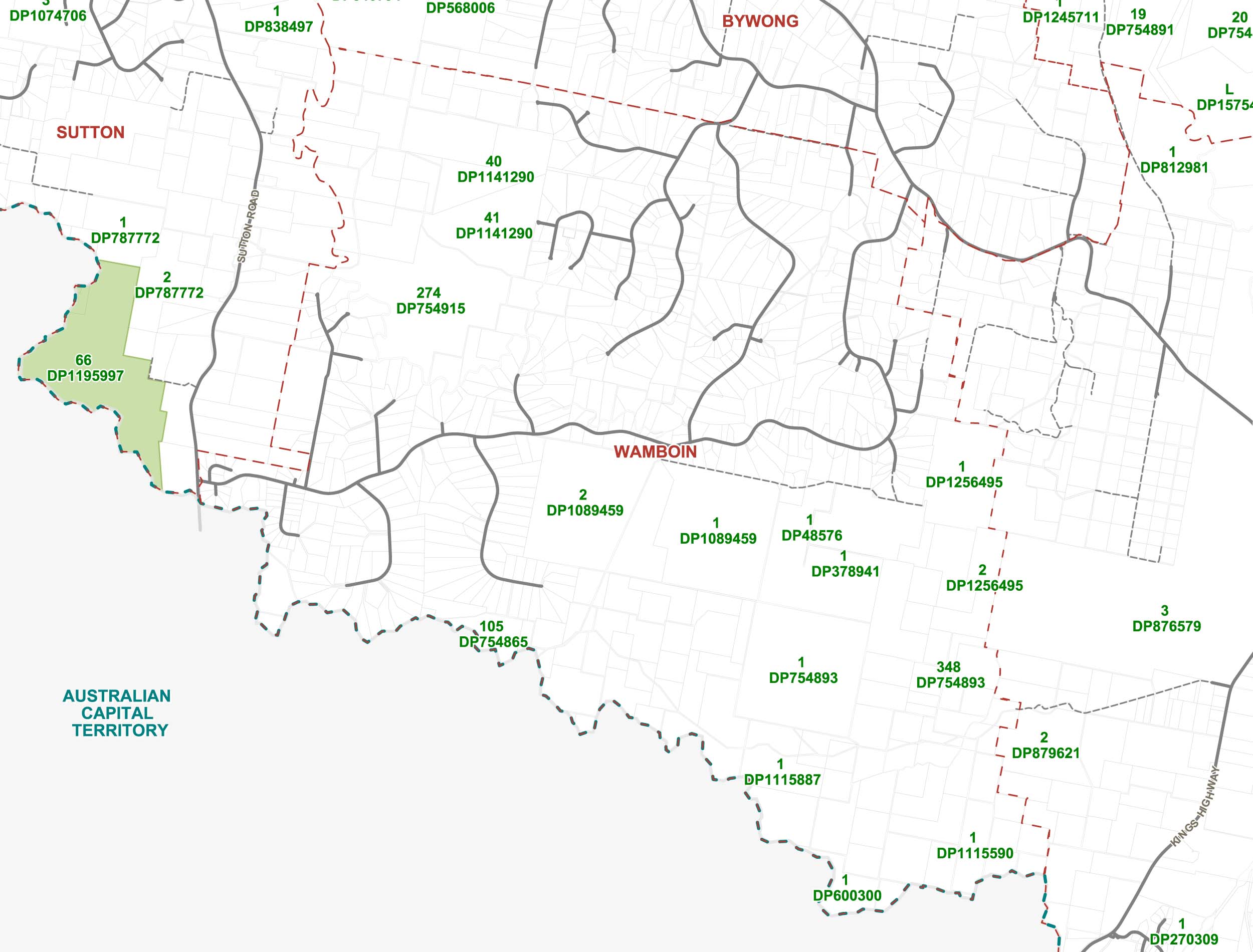
For the purposes of this listing, Wamboin is taken to be the locality of Wamboin, not the parish of Wamboin. This is because the locality of Wamboin straddles three parishes, and parts of the parish of Wamboin lie well beyond the boundaries of the locality of Wamboin. The boundary of the locality is shown in reddish dashes on the map in the Queanbeyan-Palerang Regional Council online mapping system (select the layers Boundaries | Suburbs, and zoom in to Wamboin), an extract of which is illustrated below (click to enlarge):
Reflecting a decision of the Geographical Names Board of NSW, Wamboin was gazetted as a ‘locality’ on 31 Jul 1981. The origins of the locality’s name are discussed here.
There are 32 officially named roads in the locality of Wamboin, as follows (click on a name to expand or collapse the available information).
[Further details on the origins of the 32 roads’ names were published in The Whisper over the period April 2020 to April 2021. They may be accessed here]
Amungula Place
Although located in the parish and locality of Wamboin, the road name reflects the nearby parish of Amungula, the creek of that name, the former Amungula school, and the ‘Amungula’ property on the nearby Sutton Road. A local Aboriginal word the meaning of which is unknown.
Bingley Way
The Bingley family arrived in the district in the 1840s. They selected land beside the Yass Road (now Sutton Road) and established the ‘Amungula’ homestead. The next generation of Bingleys established the ‘Woodfield’ property on the Yass River, also farming further afield. They created the subdivision that became Bingley Way from land that they owned there.
Birchmans Grove
Named after the nearby Birchams Creek which, in turn, was named after an 1830s aspiring settler, Stephen Burcher. The road name was gazetted on 25 September 2009.
Campbell Place
The absentee landlord of much of the Glendale/Burbong area, George Campbell of ‘Duntroon’, obtained a title to land there in 1871. The Campbell family took up a number of selections in the south-western part of Wamboin, and Glenburn, in the early 1880s.
Canning Close
Named after the property owned by James Canning, near what is now Bingley Way, from 1916 to 1927.
Clare Valley Place
Named after the former large landholding called ‘Clare’, within which Clare Valley Place is located, that was developed in the mid-to late-1800s by the Leahy family, commencing with many small selections. Pat Reardon purchased ‘Clare’ from the Leahys around 1930.
Cooper Road
Named after James Cooper, a former Queanbeyan policeman, who was one of the early selectors in the area.
Denley Drive
Named after John Denley who had a large land holding near the Federal Highway and Sutton Road, close to ‘Woodfield’, and subsequent generations of Denleys in the area.
Fernloff Road
The name of a property in the area owned by the Denley family from 1927. The original ‘Fernloff’ homestead is on a block off Finn Place.
Finn Place
John Finn was one of the two initial Deputy Fire Captains of the Sutton Bushfire Brigade responsible for the Wamboin area, and the first Captain of the Wamboin Bushfire Brigade, 1984-1989.
Gallagher Crescent
John Gallagher was one of the first settlers at Fell Timber on the Kings Highway near the JoC HQ turn-off. His son Thomas Gallagher, and other family members, subsequently took up selections in the Glenburn/south-west Wamboin area. The name is pronounced locally as ‘Gall-a-ger’, with a hard ‘g’ in the middle, rather than the Irish pronunciation ‘Gall-a-her’.
Hogan Drive
The Hogan family were land holders in the area in early part of the 20th century. W.S. Hogan purchased the land in the area from John Leahy in the 1919-1927 period.
Kestral Place
Named in 1987 by Yarrowlumla Shire Council after the Nankeen Kestrel, a small falcon common in the area, though the name is miss-spelled.
Lumley Road
The name of a prominent historical property in the Macs Reef Road/Donnelly Creek area, created by the Leahy family. The homestead is on the northern side of Macs Reef Road, close to its intersection with the Federal Highway. The road name was gazetted on 25 September 2009.
Majors Close
The Majors were a family who, in the early 1960s, bought the land in the present Norton Road/Merino Vale Drive/Weeroona Drive area. The Majors lived in Canberra, but occasionally stayed in the cottage on their property just northwest of the Weeroona Drive/Norton Road intersection. Majors Close was created when the family subdivided their land in the area.
McEnally Place
In October 1865 William John McEnally (‘Mac’, frequently referred to as ‘John McEnally’) discovered gold near the ‘Woodbury’ property, subsequently developed as the Mac’s Reef goldfield. The road name was gazetted on 25 September 2009.
Merino Vale Drive
‘Merino Vale’ was a block that formed part of what is now central Wamboin, formerly part of the Hyles family’s ‘Murryong’ Station.
Norton Road
Named after the former Sydney-based firm Norton Towers Estate Pty Ltd which developed the ‘Canberra Country Estate’ subdivision. Canberra Country Estate was subsequently officially re-named Wamboin.
Orana Drive
A Polynesian word meaning ‘be well’ in the Cook Islands and ‘hello’ in Tahiti. Widely mistakenly attributed to Australian Aboriginal languages. The road name was gazetted on 25 September 2009.
Poppet Road
Named after the nearby Poppet Hill (altitude 918 metres) and Poppet Trig Station there.
Proud Place
Proud Place was built as part of the first subdivision (Canberra Country Estate) that eventually became Wamboin. It was named after Proud Projects Pty Ltd, the managing agents for the subdivision.
Reedy Creek Place
Reedy Creek flows past the eastern end of the properties on this road, heading north to join Brooks Creek near the Bungendore Road/Macs Reef Road intersection.
Robertson Road
David Gerard Robertson OBE, Captain (retired) Royal Navy, one of the first residents of Wamboin (on Cooper Road) once rural residential subdivisions were created, was one of the two initial Deputy Fire Captains of the Sutton Bushfire Brigade responsible for the Wamboin area, the first President of the Wamboin Bushfire Brigade, 1984-1986, and funded the building of St Andrew’s Church.
Ryans Road
The Ryan family were prominent landholders in the central and eastern part of Wamboin, and created the Yalana subdivision there in the late 1980s.
Sarah Reef Road
‘Sarah Reef’ was the name of a gold reef on the ‘Woodbury’ property close to Mac’s Reef and the 1860s Newington goldfield township. The road name was gazetted on 25 September 2009.
Top Flat Lane
A c. 200 metre-long lane running off the eastern end of Wirreanda Road. The area has been called ‘Top Flat’ since at least 1865. The land was selected by Thomas Smith (1826-1903) between the years 1863 and 1879. Subsequently it became part of Turalla Estate, and was later owned by the Reardon family. It was subdivided, and Top Flat Lane was constructed, in the 2023-2004 period. Additional details are here.
Valley View Lane
The lane runs north along the side of the valley of Brooks Creek, with good views into the picturesque valley.
Warramunga Close
‘Warramunga’ was the name of a property between Norton Road and the vicinity of Woolshed Lane, formerly owned by Diana and Keith Gascoine. Diana Gascoine’s father served on HMAS Warramunga and named his property after the ship; Keith and Diana followed suit. (During the Viet Nam war Keith served on HMAS Sydney.) Warramunga Close, and the Warramunga Greenway, were created as part of the sub-division of their property in c. 2011.
Weeroona Drive
Named after ‘Weeroona Park’, a grazing property owned by John and Jessie Clark. Its location was described as off Macs Reef Road, Bungendore, and was at the northern end of today’s Weeroona Drive. The property was subdivided, and placed on the market in 1985: 4-16 ha blocks. In Oct. 1987, The Wamboin Whisper reported that ‘The Norton Rd. to Macs Reef Rd. connection (Weerona (sic) Drv.) will be completed shortly. This road will be formed but unsealed and is primarily a fire access and exit road. It should be noted however that in the longer term this road will be sealed’.
’Weeroona’ is a word in the language of the Dja Dja Wurrung people of central Victoria, particularly the Bendigo region, probably meaning ‘tranquillity’ or ‘we rest’. This word has been widely used to name properties, businesses, etc., across the nation, since the colonial era.
Wirreanda Road
An Aboriginal word from other parts of the nation, widely used by non-Aboriginal people for the names of businesses, homesteads, etc., presumably because of its euphonious nature. The road name was gazetted on 29 May 1998.
Woolshed Lane
The historic ‘Clare’ woolshed is on Woolshed Lane close to its junction with Macs Reef Road. At one stage it was the site of a local primary school. The road name was gazetted on 29 May 1998.
Yuranga Drive
An Aboriginal word, widely used by non-Aboriginal people because they like the sound of it, or like what it is alleged to mean (‘extensive view’), without any connections to country nor etymology. The road name was gazetted on 25 September 2009.
Acknowledgements
I acknowledge the assistance provided, to date, by Lofty Mason, Pete Harrison and other local residents, some of whose local history recollections and documentation are incorporated here. The additional information to be provided for each road, in the future, will identify the sources used.